Valdez Ski And Avalanche Report November 28, 2015/1400
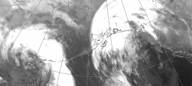
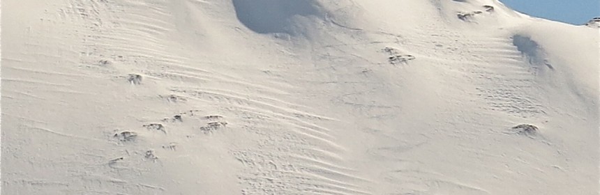
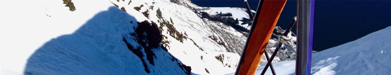
Ski conditions are remarkably good after the biggest snow event in years caused trouble in Thompson Pass the past few days. With roads open I ventured up at first light this morning and left as the sun was peaking through revealing an amazing scene. For instance the entire north face of Little Odessey, including The Shadow are void of rocks […]
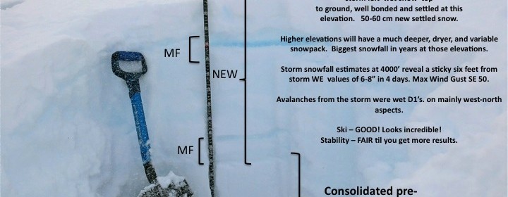
Read more