Avalanche Warning Statement
Revised 0900 11/24/15
(Issued 1100 11/23/15)
HIGH AVALANCHE WARNING FOR VALDEZ CHUGACH
Tuesday Noon through Thursday Evening.
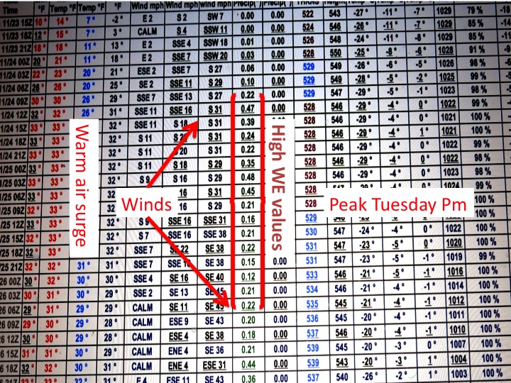
Based on current GFS models, a rapid warming is coming along with a huge amount of precipitation. 11 inches over the next seven(7) days based on the current model matrix. Even if it’s 25% less, it’s still enough to warrant a warning for backcountry skiers and the general public.
With a deep, unconsolidated snowpack and residual, reactive soft slabs of various densities above 2000′, this event is expected to produce widespread avalanches in Thompson Pass. Snowfall amounts will be substantial and the event will be self-sustaining possibly into Friday as wet, heavy snow accumulates, sluffs and reloads. South winds will accompany this event elevating the higher hazards on obviously northerly aspects, but also east and west as heavy cross loading and slabbing is expected. Weather is expected to remain poor into next weekend.
Below 2000′ the hazard will be much less, but with the forecast precipitation amounts widespread lowland overflow and minor flooding is possible if Valdez gets heavy rains versus snow and rain mixed. (This forecast will be updated as conditions warrant.)
Monday AM GFS MODEL

