Snowcast
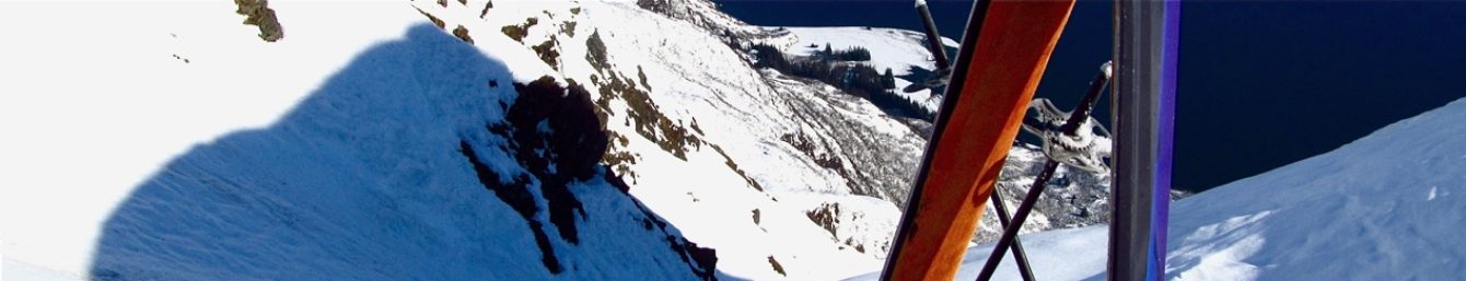
With snow falling in copious amounts measured in feet, sugar-coating of the Valdez Mountains will continue above 3000′ through mid-week in Thompson Pass while rain and “glaciation” persist at lower elevations and Valdez. Once again a ridge of high pressure along the backside of Southeast Alaska is putting us in the way of vigorous southeast flow for the rest of the week. Hope to get out a bit tomorrow and get some measurements, check on stability and hope the additional weight of wet snow has destabilized sensitive areas. A Considerable avalanche will exist through mid-week as new damp snow continues to accumulate and sluff, with with slabs forming primarily on N-NW aspects above 2000′.
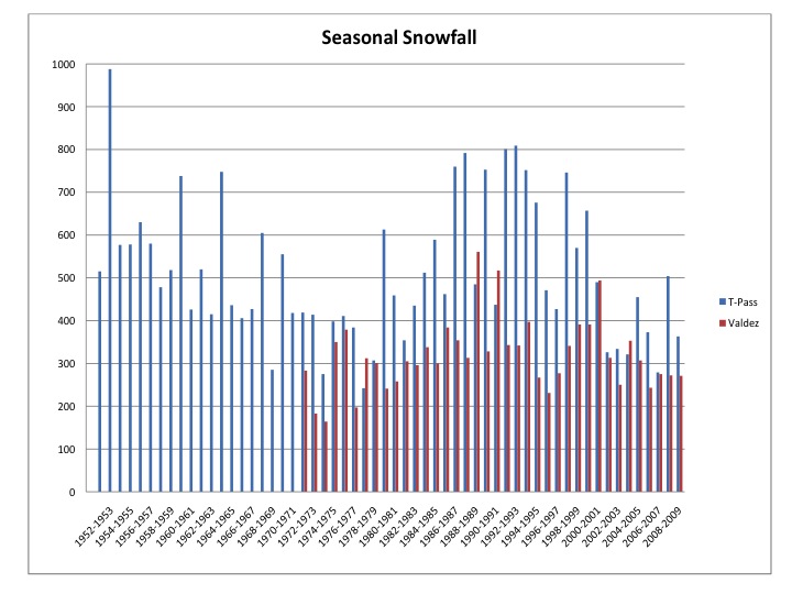
Here’s an interesting graph missing the past few years