Avalanche Hazard Again Tomorrow
(3-30-16/1800)
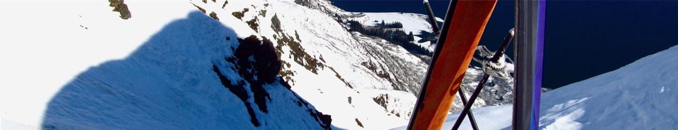
AVALANCHE – Field observations in Thompson Pass indicate the rain line moved to 3000′ with wet, deepening snow as elevation increases.. With sun busting out on Thursday and little radiant cooling tonight due to southerly flow aloft, temps will rocket early tomorrow to the highest of the season on east aspects first, then around the compass rose to west as the day progresses.. This will not be just a south aspect event.. Of note was a large recent wet avalanche in Gulley Two as a good indicator of the instability issues and the type of terrain to avoid if activity is occurring on Thursday morning.. With clouds moving back in for the weekend, that should temper the solar slides.. Thus an elevated CONSIDERABLE rating seems good.
HUMAN FACTOR – With little information about the current snowpack structure following many down day for hundreds of locals and visitors tomorrow’s scenario fits the matrix for bad decisions by some that could affect the safety of others.
SKIING– a slushy surface will prevail as the day progresses with the potential for an ice crust to develop tonight if the overnight temps drop below freezing. New snow dries out at 4500′.
WX – Fog will develop tonight and linger through Thursday morning at lower elevations . Above the fog will be the light for the early bird special.