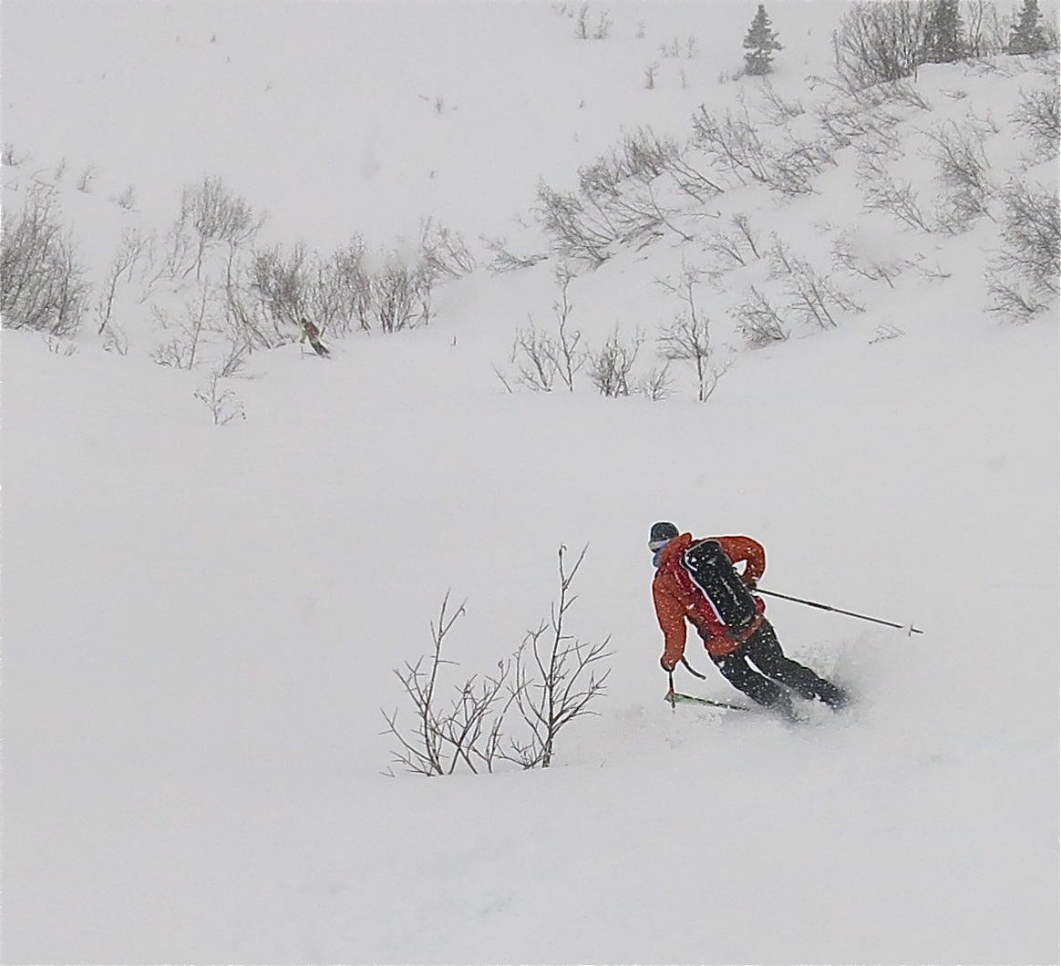
Valdez Ski and Avalanche Statement April 16, 2915 1900AKT
Weather models continues to show copious amounts of snow above 2700′ in the Valdez Chugach, mostly dense with up to 8″ in places on old powder. With continued snow load and the meandering of our foray today, avalanche condition will be CONSIDERABLE on most angles and aspect above 35 degrees with the potential for deep sloughing is HIGH steeper terrain at least for the next 48 hours. Some sunny breaks may occur more to the north side on Friday before another round of heavy snow on Saturday night-Sunday. Valdez will remain rainy and coastal. Again a reminder of the potential for HIGH hazard on any sunny, southerly, steep or rocky slopes as there is another 5-10″ loading over the next few days. Wind will remain primarily from the south to east to near 25 mph along exposed ridges and summits, thus high NW aspects should be entered carefully. Temps remain in the high 20’s the Pass til Saturday’s next snow event.
Skin bump?

