Back In The Day – 80’s Valdez Topo Maps
My fascination with maps began in the Coast Guard where I was trained as a ship’s navigator in Orlando, Florida by the Navy. This was followed by a couple of years at sea in Alaska before washing ashore in Valdez in 1979. During that time I had plotted the ship’s location on charts using various means of determining our position, including a sextant, compass, celestial fixes, Loran and visual aids thousand of times. During a watch at sea I was responsible for determining our location, course and speed. Once an hour, at sea and in port, I would do a standard weather observation and keep hand written operational records. Determining wind speed and direction on moving ships was a math problem done on a maneuvering board with slide rulers. If the Captain wanted the ship to pass over the summit of a seamount in the middle of the Gulf of Alaska, I could do that and so could the rest of the navigation team. Charts and maps were certainly influential as they teased me into exploring Alaska from land based on the amazing things I saw from the bridge wing of a Coast Guard cutter.

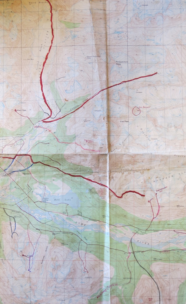
East Port Valdez – Kinney 1980’s
When I came ashore and discovered backcountry skiing, I began amassing a rather large collection of topos covering Valdez and lots of Alaska. There was no GPS or digital files to download at the time and some members of the Peak A Week club had their own records, but I wanted mine to be a compendium of my efforts short or long.
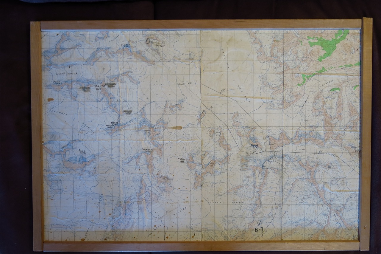
This particular map was framed and was used on the Mt Shouplina Expedition and the Chugach Traverse in the mid-80’s. I must have spent considerable time transferring names of significant peaks (and ski terrain!) from a map of smaller scale.

After a trip, I could not wait to get home and pull-out one of the maps and extend a red line or make a new one. I’m sure some of you who read my blog have a similar creation in modern format or drawing lines on special and beautiful Valdez Series topo. Valdez series depicts some of the most glaciated terrain in Alaska. Eventually you may end up with a coffee stain on a few of the busier maps and they begin breaking apart so you start a new set.

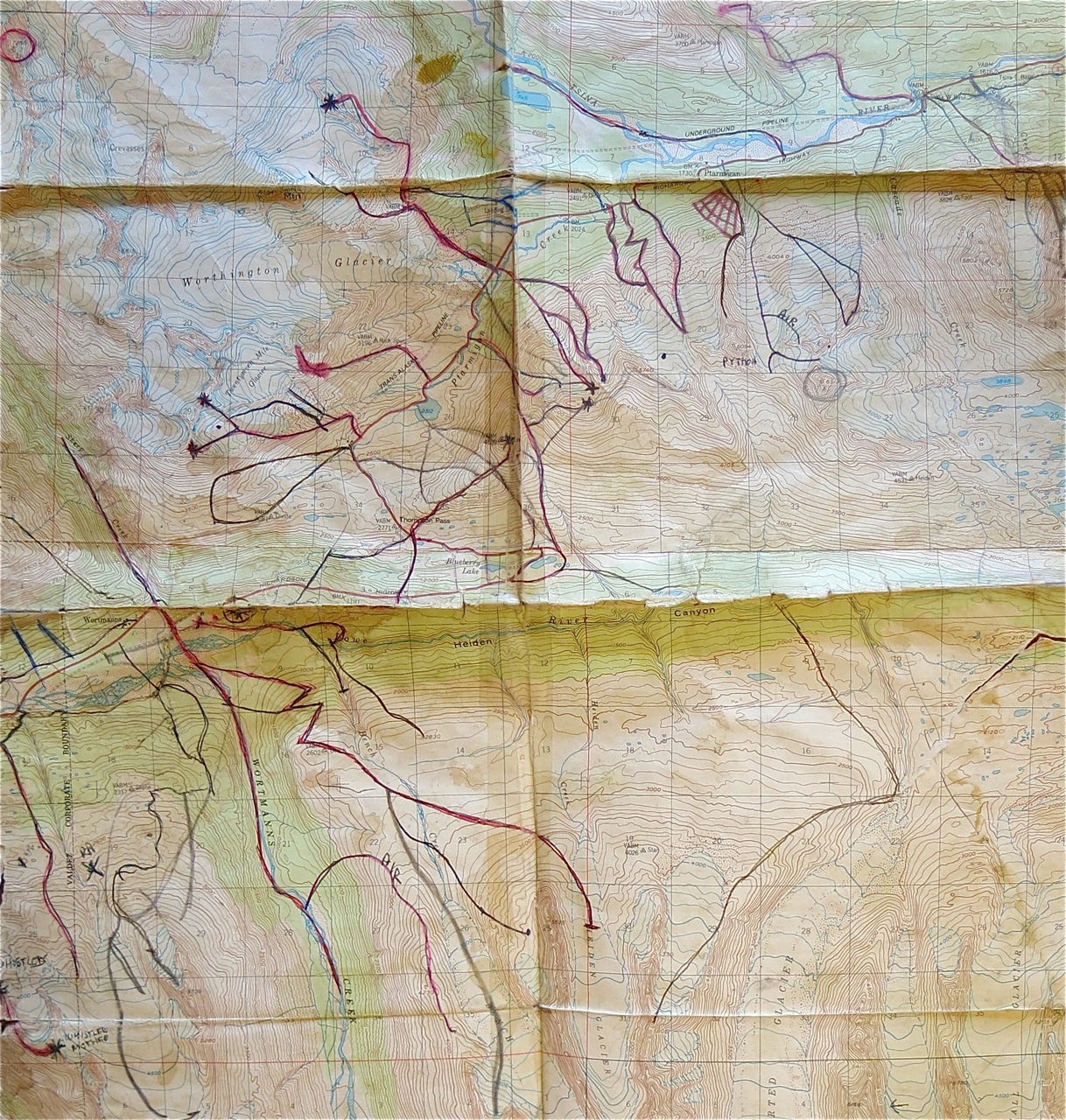
Thompson Pass – Kinney 1980’s
The only addition to the above map outside the 80’s is more of Stone Mountain and Wortmann’s Couloir. There is also an odd line drawn from the Hairpin to the Heiden Glacier which may have been drawn to get an accurate distance to that peak using dividers.
These sea and ski experiences helped create the format of my book, Backcountry Skiing: Valdez and Thompson Pass. The best part of creating the guide was the intricate map work with slope angle locations and safest routes. The use of specific “Arenas” was also a plan in it’s earliest stages of development as I blended my weather and route finding experience together to further delineate the zones.

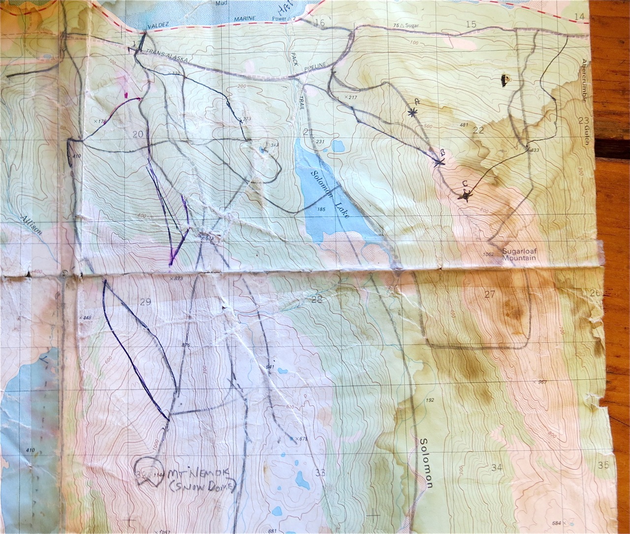
Sugarloaf/SnowDome – Kinney 1980’s
Sorting through my topo box I decided to give a broader audience an historical perspective regarding the history of skiing in Valdez. This set of maps identifying the routes I skied, hiked or climbed solo or with others prior to 1994. The overwhelming majority of the routes where in the 1980’s.
