Avalanche and Weather Statement – December 31, 2015 – 1000AKT
Avalanche hazard rating will remain CONSIDERABLE in Thompson Pass through Sunday with the primary hazard being small and large active slides occurring frequently in common zones along the highway corridor as a good indicator. Snow (est 5″ WE in past 48) and wind loading above 5000′, in particularly N/E/W aspects, could produce some climax slides (D3)
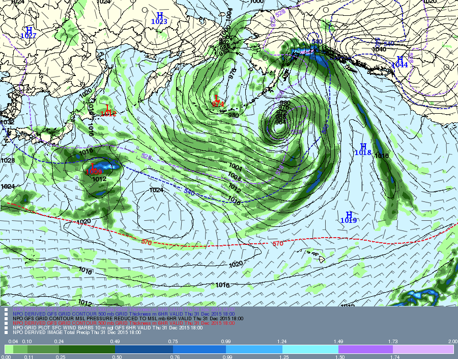
There is a high pressure ridge well entrenched along the Canadian/US border along Southeast Alaska. This dynamic will continue in the long-term, pumping copious amounts of rain, snow and flat light ski conditions in the Valdez Chugach. Valdez goes all snow today with some good amounts likely as cold air wraps in behind each storm trough coming from the west. Best bet for a weather break begins on Monday through Tuesday with mostly clear and deep as above normal snowfall amounts and depths continue above 3000′.

GFS Grab 1000 12-31-15
